
Walk a Douglas County Street by Record
A street search works best as an address walk. The Assessor supplies a situs address, owner name, account, state parcel number, legal description, and map link. DC Maps adds parcel shapes, roads, ZIP areas, tax districts, zoning, subdivisions, and municipal boundaries. Landmark Web then uses the legal description and party names to trace instruments. Voter records and old directories add separate time and household clues.
The order matters. A street name alone can match several communities, and a postal city may not be the municipality. A recorded owner may not occupy the parcel. A directory subscriber may not hold title. Keep the source, date, and record purpose beside each address observation.
- Search the situs address in the Douglas County Assessor Property Search using Address, City, and Zip Code. Sort by Address and record the exact spelling, city label, ZIP, account, and state parcel.
- Open DC Maps or the Real Property Viewer. Turn on parcels and relevant road, ZIP, zoning, tax-authority, subdivision, and municipal-boundary layers. Click the parcel rather than reading a name from the map.
- Use voter information only through a permitted product. The state lookup needs a person's first name, last name, ZIP, and birthday; the county list excludes protected fields and confidential voters.
- Move to Landmark Web with the current owner and legal description. Search the current owner as grantee, capture the grantor, and repeat backward with a narrow one-to-five-year date window.
- Ask Douglas County Libraries Archives and Local History for phone books, reverse or street sections, yearbooks, newspapers, and obituary files for an older address or household.
This is the core of a Douglas County street directory search: address to parcel, parcel to legal description, legal description to deed, and each result back to the map. A list of names without that chain is not a reliable street record.
The process can be repeated parcel by parcel along a street. It should not be presented as a bulk roster of everyone at every unit.
The current county map hub shows the public entry points for the Real Property Viewer, ZIP map, zoning, tax authorities, subdivisions, and municipal boundaries.
Douglas County's map hub is the source for that parcel-to-layer workflow.
Douglas County Assessor Address Fields
The standard Assessor search is the first address-keyed record in the Douglas County street directory. Select a scope before entering a term. The visible options are All, Search All Fields, Address, City, and Zip Code, Owner Name, Account Number, and State Parcel Number. A broad search can be sorted by Best Match, Account, Owner, or Address.
Open each parcel detail and copy the situs address into one field and the owner mailing address into another. The situs address is the physical property key. The mailing address is a tax or assessment correspondence route. It can sit outside the parcel, outside Douglas County, or at an organization or agent, and it does not prove that the owner lives at the property.
| Field or Control | Type | Required | Douglas County Search Note |
|---|---|---|---|
| Search scope | Dropdown | Yes | All; Search All Fields; Address, City, and Zip Code; Owner Name; Account Number; State Parcel Number |
| Search County Properties | Text input | Generally yes | Placeholder examples include 123 Main and John Smith |
| Search | Button | Submit | Opens the result list for the selected scope and term |
| Sort | Dropdown | No | Best Match, Account, Owner, or Address |
| Result disclaimer | Acknowledgement | Before detail | Assessor disclaims warranties, accuracy, completeness, and liability |
The advanced Assessor app adds property address, ZIP Code, owner, state parcel, sale, improvement, subdivision, tax authority, and geographic criteria. The residential-sales route supplies valuation, sales, characteristics, and neighborhood-sales context. That information helps date or compare a parcel. It is not an occupant record.
The Douglas County Assessor residential sales screen shows how sales and property characteristics sit beside the address record.
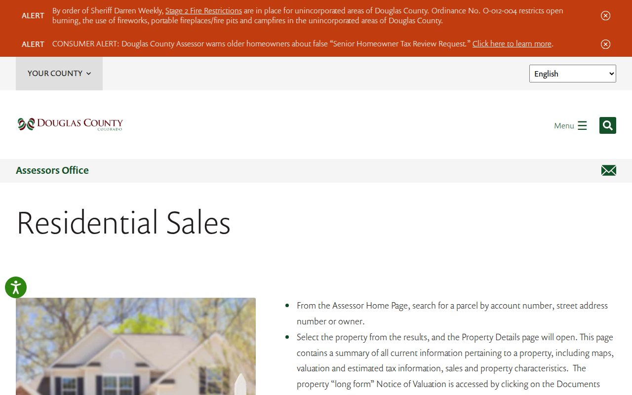
The sales view adds property context to a street directory trail, while the standard parcel card remains the source for the owner, situs, mailing, account, and state parcel fields.
Use the parcel or state parcel as the join key when street spelling, unit format, or city labels vary.
Douglas County GIS Parcel Layers
DC Maps turns a street name into a map browse. Search an address or parcel when the live viewer offers that control, then click the parcel and save the identifier, legal description, subdivision, ZIP, tax district, and municipality or unincorporated status. Pan along the street and repeat for each selected polygon. A road, open-space tract, metro-district parcel, or different subdivision should not be counted as a household parcel.
Documented layers include parcel boundaries, roads and address points, zoning, flood or FEMA-related context, tax authorities, ZIP areas, subdivisions, municipal boundaries, and value or economic-area maps. The exact names for select, measure, buffer, radius, adjacent-parcel, and export controls were not exposed in the static research capture. Do not promise a radius result until a live screen confirms it.
The Douglas County Real Property Viewer and map hub identify the parcel and layer applications that support a street-by-street review.
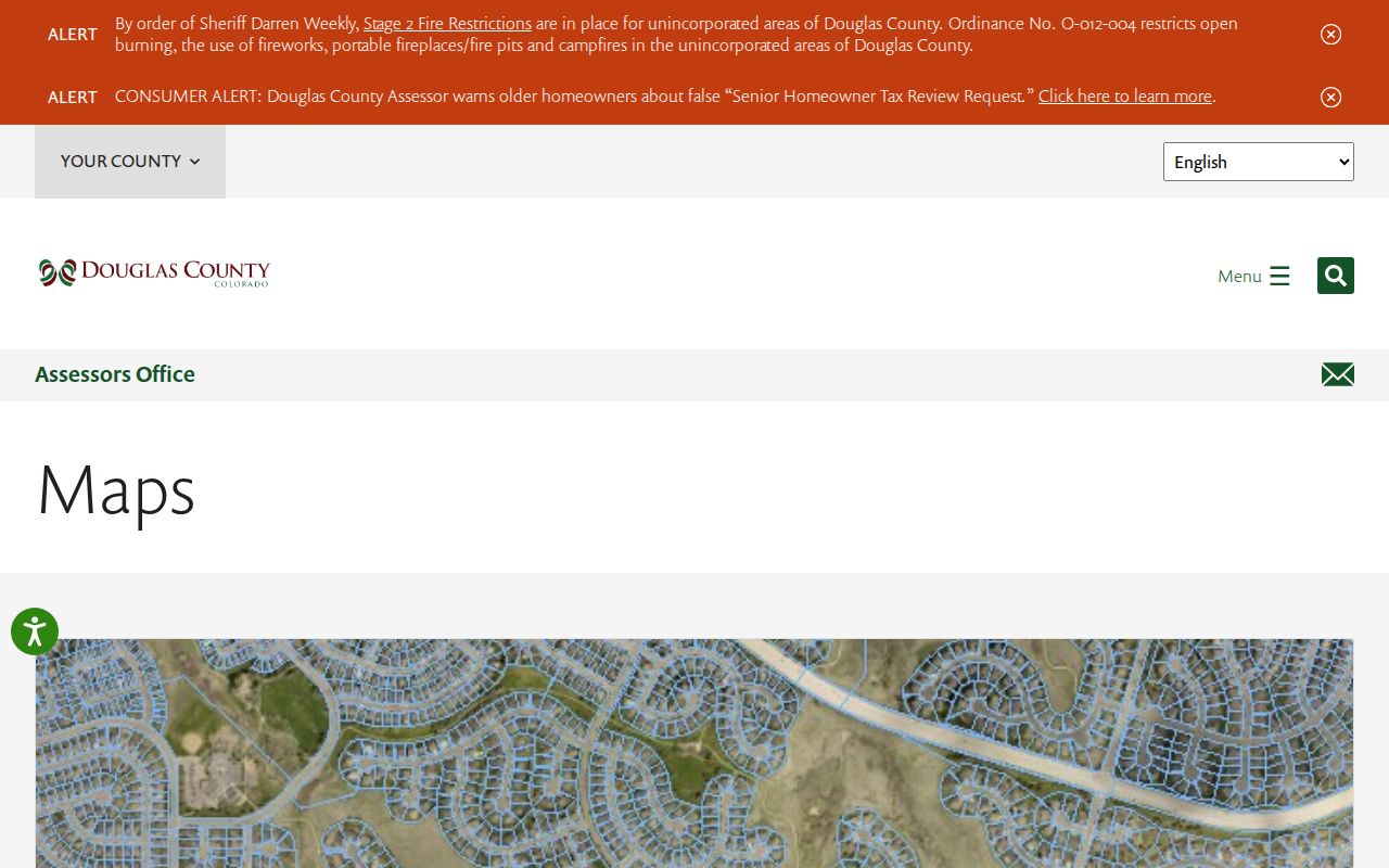
The map is a geography tool. Open the linked Assessor detail before attaching an owner name to a polygon, and preserve the municipal boundary rather than replacing it with a postal city.
GIS can show that two parcels touch. It does not by itself show who occupies either one.
Douglas County Address Record Coverage
A useful street directory combines address-linked records without treating them as interchangeable. The table below separates the keeper, the clue, and the access route. Some records are current online searches. Others require a dynamic portal, an office station, a reading-room request, or a specific CORA request.
| Record Set | Keeper | What It Shows | Access |
|---|---|---|---|
| Assessor parcel card | Douglas County Assessor | Owner, mailing address, situs, account, state parcel, legal description, values, sales, improvements, maps | Free public search; detail disclaimer |
| GIS parcel and layers | County GIS and Assessor | Adjacent geometry, roads, ZIP, zoning, tax districts, subdivisions, municipal boundaries | Free map and linked detail |
| Recorded deed or instrument | Clerk and Recorder | Grantor, grantee, conveyance, reception, legal description, image, cross-reference | Landmark index; image or office route varies |
| Treasurer tax account | County Treasurer | Account, situs, parcel, values, payments, delinquency, charges | Public search; current guest or login transition |
| Building permit | County or municipality | Project address, applicant, contractor, dates, status, documents | Dynamic portal or records request |
| Voter product | Douglas Elections or Colorado SOS | Permitted registration, status, party, history, or ballot-product fields | State lookup or approved list request; protected records excluded |
| Phone or reverse directory | DCL Archives and Local History | Historical subscriber, name, phone, street, or community clue | Reading Room, staff retrieval, or request; exact run not verified |
| USPS ZIP lookup | United States Postal Service | Exact delivery ZIP and ZIP+4 | Address verification; not a legal boundary |
| CORA request | County or municipal custodian | Specific records not surfaced in a portal, subject to exemptions | Written request; deadlines, fees, and redactions apply |
The coverage table is the practical core of a Douglas County street directory. A parcel card can lead to a deed. A deed can lead to a prior party. A permit can date a project. A directory can add an older subscriber snapshot. None of those alone proves a present household.
When two records disagree, preserve both values, note the record dates, and ask the custodian whether the difference reflects a new parcel, a new address, a stale copy, or a protected field.
Douglas County Deeds by Legal Description
Landmark Web is not primarily a street-address directory. Its useful keys are name, document type, book and page, consideration, record date, reception number, and legal description. Search the current Assessor owner as grantee, find the acquisition instrument, then carry the grantor backward as a new grantee. Check the same lot, block, subdivision, or other legal description at each step.
Use a one-to-five-year date range. Search people and organizations as both grantor and grantee because an address can pass to a trust, estate, entity, or personal representative. Deeds of trust, releases, quitclaims, assignments, plats, easements, and replat filings can explain a break in the chain. Reception number and recording date provide the hard order.
The county's June 16, 2026 release says the preservation project reached land records back to 1866 and reports 3,877,662 unique public records scanned, indexed, and online. The recording kiosk separately describes 1994-present images and older microfilm or research-station routes. An indexed 1866 record does not guarantee that every older image opens from the same screen.
The Landmark Web deed index displays the legal-description and party-search route used to build the chain.
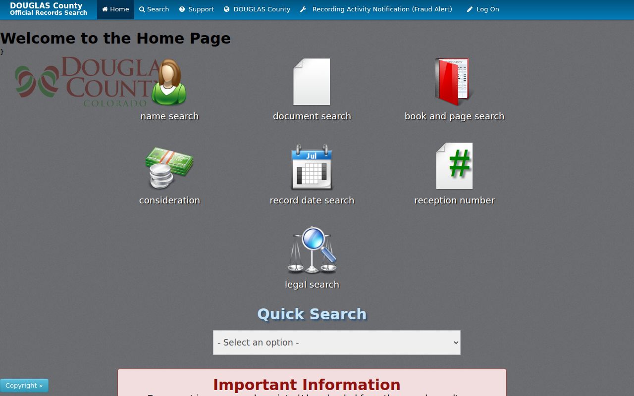
The image path helps identify a recorded instrument, but copies, certification, older images, and office research remain Clerk and Recorder functions. A street directory result should name the index path and the image status.
A legal description is the continuity anchor when a road name, postal city, or unit label changes.
Douglas County Permits Since 1978
Building permits provide address history rather than a resident roster. The County Building Division reports more than 1.2 million archived permits dating to 1978 and links a public search for contractors, documents, and permits. A permit may name an applicant, owner, contractor, agent, inspector, project, or document contact. Each role must be labeled before it becomes part of a street record.
Lone Tree's Accela route has exact documented modes for Address, Parcel Information, Owner, Record Information, and Licensed Professional. Address fields include Street Number, Direction, Street Name, Street Type, Unit No., City, State, ZIP, and Unit Type. Parker and Castle Rock use separate public permit portals. Dynamic field order for the county, Parker, and Castle Rock screens remains a research gap, so a search should be described only at the level the live screen confirms.
The Douglas County building services portal is the public entry point for permit and document searches.
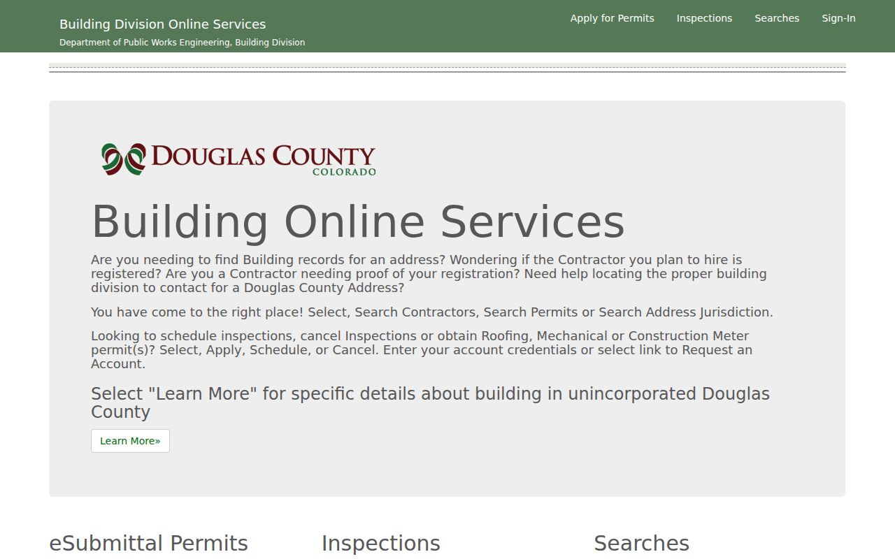
The permit image belongs beside a project date or address clue. It should not be presented as proof that a named person occupied the site or that a project was completed without checking the result status and document.
For a tailored historic extract, identify the address or parcel, permit period, project type, and desired record fields before using the county or municipal records-request route.
Douglas County AMP Address Comparison
Douglas County Elections documents a daily Address Matching Practice, or AMP, that compares voter information with Assessor data for tax authorities, districts, and address components. The process standardizes address parts and helps clean invalid characters. It is an insider clue about how two public systems relate, not a public bridge that turns an owner list into a voter roster.
For a street research task, AMP explains why a normalized address may match across systems even when a source keeps its original spelling. It also explains why a mismatch needs care. The voter lookup requires a person name, ZIP, and birthday. The Assessor uses a property search scope and parcel fields. One system can contain a protected voter or a nonvoter, while the other can contain a mailing address unrelated to occupancy.
Use the comparison as a quality check. Preserve the original address, the normalized comparison value, the source date, and the result type. Do not fill a missing voter result with an Assessor owner name.
The state lookup and the county voter-list products are the documented access channels. County products exclude confidential voters, protected preregistered people, SSN and ID numbers, signatures, email, full birth date, and ballot choice.
A well-kept street directory records that limit rather than hiding it inside a name match.
Douglas County Postal and Municipal Layers
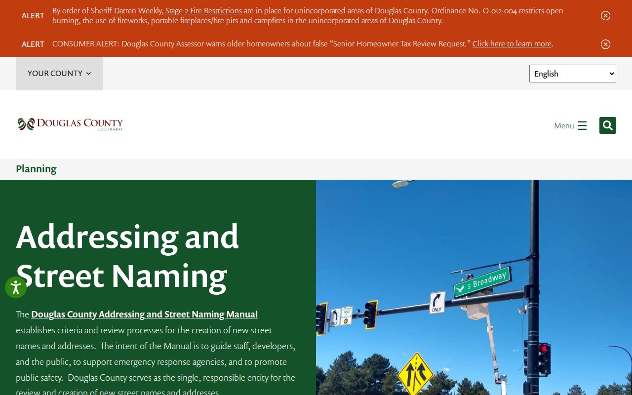
Douglas County address work needs more than one place label. The county addressing office reviews and creates new street names and addresses for the county address database. Proposed addresses can change during 911 and life-safety review, and new or revised unit numbers need a floor plan. Street names are checked against a DougCo Hub list, while suffixes follow regional criteria rather than guesswork.
The Addressing and Street Naming Manual was adopted January 10, 2023. County Addressing is listed at 303-660-7411. The research did not locate a verified countywide street-renumbering project with a year, so a historical change must be checked in plats, old maps, directory street indexes, municipal records, and the Recorder legal description.
The Douglas County addressing and street-naming source explains the review and database route.
ZIP and postal city add another layer. Highlands Ranch can use a Littleton postal label while remaining unincorporated. Castle Pines can carry Castle Rock postal context. Parker ZIP areas cross the Town line. Use the parcel, municipal boundary, subdivision, and exact USPS ZIP+4 lookup together.
Postal geography helps deliver a record. It does not establish ownership, incorporation, or occupancy.
Douglas County Criss-Cross Street Clues
Older street research often depends on the library shelf rather than a current web form. Douglas County Libraries Archives and Local History confirms phone books, yearbooks, maps, newspapers, obituaries, clippings, oral histories, school and church material, and family papers. The exact local reverse-directory publishers and years were not verified. Ask for “reverse directory,” “street directory,” telephone-book street index, and the community and year in question.
A criss-cross entry can supply a subscriber name, phone, street, town or pre-ZIP locality, business marker, spouse notation, or organization role. It may list only a principal occupant or subscriber. Pair the entry with a deed, tax book, census, obituary, probate file, or permit date. The historical directory collection gets fuller treatment on the Douglas County city directory page.
The DCL Reading Room is at 100 S. Wilcox Street, Castle Rock, with public hours listed Monday and Friday from 8 a.m. to 4 p.m. Research help is by appointment on weekdays from 8 a.m. to 4 p.m.; the guide gives 303-688-7730. Most material is staff-retrieved, with pencil-only handling, limited seating, and fee-based microform copying.
Address terms.
- Parcel
- A mapped property unit joined to an Assessor account, state parcel number, legal description, and tax record.
- Situs address
- The physical property address used for the parcel, map, tax, and permit search.
- Plat
- A recorded map or filing that helps define lots, blocks, subdivisions, streets, and later changes.
- Criss-cross directory
- A reverse or street-oriented directory that starts with an address or street clue instead of only an alphabetical name.
Definitions matter because a street address is a convenience label, while a plat or legal description is the record identity that can carry through a deed chain.
Douglas County Treasurer Address Search
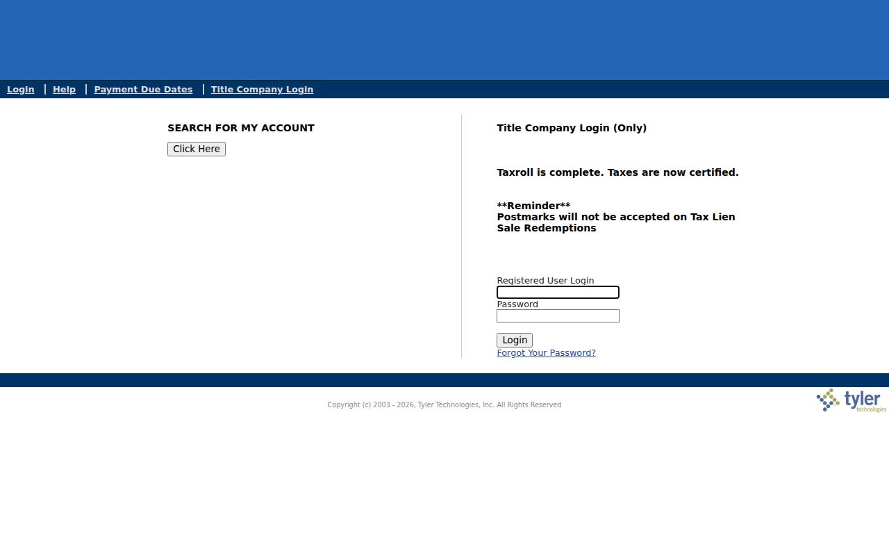
The Treasurer adds a tax-account check to an address walk. The documented search fields are Account Number, Owner Name, 12-digit Parcel Number, and Situs Address, with Search and Clear controls. The result can show legal or situs address, assessed values by year, payments, delinquency, interest, abatements, miscellaneous charges, and special assessments. A tax account is not a complete address history or a list of non-owner residents.
The current guest route may redirect to a login and requires JavaScript or cookies in the legacy path. The Treasurer office is listed at 100 Third Street, Suite 120, Castle Rock, with 303-660-7455. Use the account, parcel, and situs values as a cross-check against the Assessor, not as a replacement for the parcel card.
The Douglas County Treasurer account search shows the tax-account route.
The Treasurer result can help resolve an address spelling or parcel join. It cannot establish that a person physically lived at the situs address during the tax period.
Keep tax data in the property layer of a Douglas County street directory and label values or payments as account evidence.
Douglas County Street Directory Limits
A street directory cannot show every person at an address. The Assessor is an ownership and tax record. A recorded deed is an instrument record. A voter product is limited by election law and may exclude protected voters, preregistered minors, and other protected fields. A reverse directory is a dated subscriber clue. None is a complete household roll.
DMV address data is protected under the federal Driver's Privacy Protection Act. Utility customer accounts, delivery-route data, private association member lists, and password-protected community directories are not ordinary public street fields. Castle Rock neighborhood maps, Highlands Ranch district maps, Castle Pines HOA information, and Lone Tree contact lists provide boundaries or contact routes, not public member rosters.
Use a name and address only within the purpose allowed by the record and the custodian. A mismatch, a missing result, or a protected address should remain a limitation rather than an invitation to infer more.
Lawful use. Douglas County address records can support personal, lawful research such as family history, property curiosity, estate work, or civic records review. Do not use a search result to stalk, harass, intimidate, or harm anyone.
Verification means returning to the Assessor, Clerk and Recorder, Elections, court, library, or municipal custodian when a record matters. It does not mean filling a public gap with a private guess.
CORA for a Missing Douglas County Address Record
When an address record exists but a portal does not expose it, use the Colorado Open Records Act route. C.R.S. 24-72-201 through 24-72-206 permits a written or electronic request to the appropriate county or municipal custodian. Name the department, address, parcel or project number, record type, parties or keywords, date range, and preferred format.
Douglas County states that the response starts within three working days, counted from the day after receipt, with notice possible for an extension of up to seven working days. Research, retrieval, and copying fees may apply. A CORA request cannot override vital confidentiality, protected voter fields, juvenile or sealed court rules, adoption restrictions, or other specific exemptions.
The Douglas County CORA page is the fallback for a focused permit, correspondence, election, retention, or address request.
A specific request is more useful than a broad demand for everyone connected to a street. Ask for the record that can answer the question, then preserve the custodian's response, date, and any redaction explanation.
That final request path completes the Douglas County street directory workflow without turning an incomplete public record into an invented resident list.