
Douglas County Neighbors by Record Layer
A block search works best when every source has one role. The map finds the parcels beside a target address. The property record supplies owner and mailing fields for a selected parcel. The Recorder joins that parcel to a legal description and deed chain. Permits add project history. Voter products have public-field and privacy limits. Community pages identify an association, manager, delegate district, or contact route, but they do not become a public member list.
| Source | What It Shows About a Block | Access |
|---|---|---|
| County GIS parcels | Parcel outlines, adjacent parcel IDs, roads, subdivision, zoning, ZIP, and tax or district layers | Free map; exact buffer, radius, and export controls are not verified |
| Assessor property search | Owner, mailing address, situs address, parcel, legal description, value, sales, and map links for a selected parcel | Free one-parcel queries through standard or advanced search |
| Recorder legal index | Grantor, grantee, deed, plat, easement, lien, reception, legal description, and image path | Landmark Web and office route; legal description is the key |
| Building and municipal permits | Project address, applicant, contractor, inspection, status, and documents when public | County or city portal; CORA request when a record is not surfaced |
| Voter products | Permitted registration, status, party, history, or address fields in an authorized product | One-person state lookup or county request; protected records excluded |
| DCL reverse and phone material | Historical street occupants or subscribers by year when a volume is held | Reading Room or archive request; exact local runs are not verified |
| Association contact pages | Boundary, manager, delegate, meeting, or community contact layer | Public contact pages; member directories may be private |
| CORA request | Specific block records held by a county or city custodian but absent from a portal | Written request with department, dates, record type, and terms |
The sources do not all describe the same people. An owner may live elsewhere. A person listed in an election product is not proof of ownership. A map polygon may be open space, a road, a metro district parcel, or a different subdivision rather than a household. A useful Douglas County neighbors result names the source and date for each observation.
Map Douglas County Neighbors by Adjacent Parcel
The county's Real Property Viewer and DC Maps pages support a click-and-browse parcel method. Start with the target address, capture the parcel or state parcel number and legal description, then move outward one polygon at a time. Turn on parcels, roads, subdivision, municipal, ZIP, zoning, and tax-authority layers as needed. The layers help separate a true adjacent lot from an open-space tract, road strip, service parcel, or another jurisdiction.
- Locate the target. Search the address or center the map on the street, then record the target parcel and exact situs wording.
- Inspect the surrounding polygons. Click parcels that share a boundary or sit immediately across the road. Save each parcel ID rather than reading a name from a map label.
- Open the official detail. Use the linked property record, if available, and keep owner mailing address separate from situs address.
- Join the legal record. Carry the subdivision, lot or block, or other legal description into the Recorder index.
- Stop at the block edge. Use the street workflow for a whole named street, and do not promise a radius or export result that the live map has not confirmed.
The Douglas County DC Maps and GIS apps entry point identifies parcel, zoning, water-provider, taxing-authority, subdivision, and related map applications.
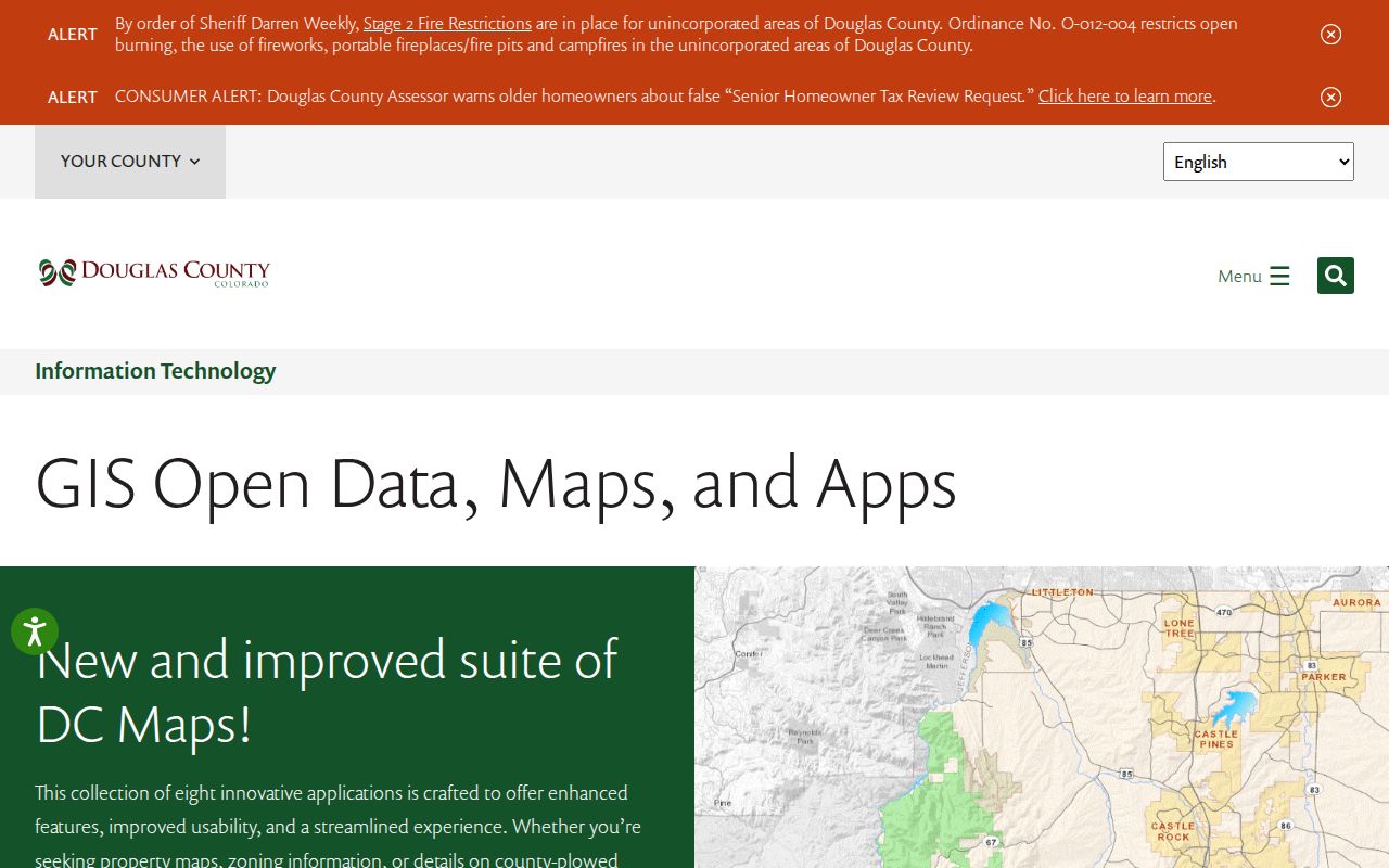
The map view supplies geography. The owner and legal fields still need a separate official record check.
Build a Douglas County Block Table
A small working table keeps a neighbor search from becoming a story built on assumptions. Give every row one parcel and one source date. Preserve the original address spelling, postal city, ZIP, municipality, subdivision, and parcel number. Then add the owner or mailing fields from the property record, the legal description from the Recorder, and any permit or community contact that actually applies to that parcel.
Use a blank or “not shown” entry when a source does not provide an item. Do not convert a missing name into evidence that nobody lives there. A public map may show an adjacent parcel while the associated owner record is unavailable, protected, or held by a different custodian. This is especially important near Castle Pines, Parker, Lone Tree, and the unincorporated parts of the county where postal and legal boundaries overlap.
The resulting block table is a research aid, not a published household roster. It can support a family history, a parcel question, a local-history project, or a civic records inquiry while showing precisely which source supports each line.
Turn Neighbor Parcels into Legal Descriptions
The Recorder does not use a street address as its principal index key. For each adjacent parcel, carry the Assessor's subdivision, lot and block, state parcel, account, and legal description into Landmark Web. Search the relevant owner as grantee, inspect the grantor, and check the legal description across the transfer. A street name can be shared, abbreviated, or absent from an older deed.
The Douglas County recording documents guidance describes Grantor and Grantee indexing, legal descriptions, reception numbers, document types, dates, book and page or image paths. The Landmark Web public index adds name, document, legal, date, and reception search paths.
Permits create a different kind of address evidence. The county archive is reported from 1978, and municipal systems can hold local project records. A permit may name an applicant, contractor, owner, agent, or inspector. It can show what happened at an address, but it cannot establish the full block's occupants or a personal relationship between neighboring households.
For a full named-street chain, the Douglas County street directory handles the wider address walk. The neighbors workflow stays close to the target parcel and its immediate legal surroundings.
What Voter Records Can Say About Douglas County Neighbors
Colorado's ordinary voter lookup is a one-person match. It uses first name, last name, ZIP, and birthday, and the state says a confidential or protected record may not appear. It is not a public street-wide query. Douglas County also publishes voter-list products and history products under current election rules, but the fields and delivery route depend on the product and request.
Public products can contain authorized name, residential or mailing address, year of birth, party, status, jurisdiction, precinct, or election-history fields. They exclude confidential voters, protected preregistered persons, Social Security and identification numbers, electronic signatures, email, and how a person voted. A voter record can support a permitted match, but it cannot prove that a person owns a parcel, that every occupant registered, or that a non-match means nobody is present.
The Colorado voter lookup is the person-level route. The Douglas County voter-list page describes county products, update cycles, and excluded fields. Protected voters and Address Confidentiality Program participants require special care. The county's daily AMP process compares voter addresses with Assessor data, but that behind-the-scenes match does not turn an owner roll into a voter roll.
Castle Rock's 150-Plus Neighborhood Map
Castle Rock supplies an unusually clear community layer. The Town's official neighborhood page maps more than 150 neighborhoods and links to association or property-management contacts. The map helps identify a named community around a parcel and can explain why a block's association contact differs from its municipal record.
It does not publish a universal member roll. Treat the neighborhood name as a boundary and contact clue. Confirm the parcel in county GIS, then use the association or manager only for the public contact route shown on the official page.
The Town of Castle Rock neighborhoods map provides the local boundary and association layer.
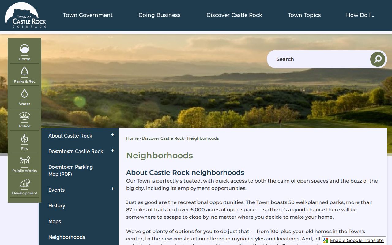
The 150-plus count is a community-map fact, not a count of households or public neighbors.
Highlands Ranch's 94 Delegate Districts
Highlands Ranch is unincorporated, yet its community systems have their own map and contact layer. The Highlands Ranch Community Association address workflow identifies one of 94 delegate districts and shows the sub-association context for an address. That can help a resident reach the right community contact without confusing an association boundary with a municipal boundary.
The district route does not disclose a public list of every household. The separate Highlands Ranch member directory is password protected. Keep county parcel and legal records as the land layer, then use the association map for a community contact or delegate path.
The Highlands Ranch Community Association residential page shows the address-based district workflow.
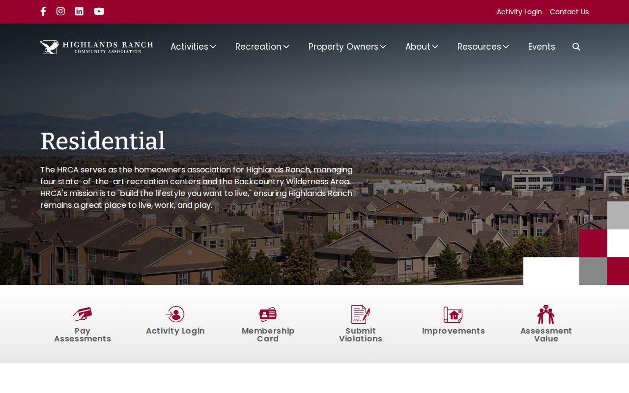
The 94-district structure is useful geography. It is not a public household directory.
Douglas County Association Contact Layers
Community pages answer a different question from county records: who manages or represents an area, and where should a neighborhood issue go? Use the association name, boundary, manager, delegate, or correction contact that the public page supplies. Do not infer a member list from a contact page, and check the date when a map is old.
| Area or organization | Public contact value | Limit |
|---|---|---|
| Castle Rock neighborhoods | More than 150 mapped neighborhoods with association or management links | Boundary and contact layer, not a Town-published member roll |
| Highlands Ranch Community Association | Address-based delegate district and sub-association map | Member directory is private or password protected |
| Castle Pines HOA lookup | City lookup for private association contacts | City warns that information may be missing or outdated |
| Lone Tree HOA list | City contact list and correction route | Not a member directory |
| Northwest county association map | 2012 map names communities such as Acres Green, Province Center, Wildcat Ridge, Surrey Ridge, and Castle Pines | Historical coverage lead; verify current contacts separately |
For Castle Pines, the city HOA lookup is the official contact route and carries the missing-or-outdated warning.
The lookup helps locate an association contact; it does not establish who belongs to that association or who occupies a nearby parcel.
Lone Tree's homeowners-association list also provides a public contact layer rather than a member roll. The 2012 northwest county map is useful for historic community names, but its date makes current verification essential.
Rural Douglas County Neighbors Follow Districts and Roads
In Franktown, Larkspur, Louviers, Sedalia, Roxborough Park, and other rural or foothill communities, the nearest visible neighbor may not sit in the same subdivision or postal city. A county map can show water-provider, tax-authority, road, zoning, and subdivision layers. Those layers explain services and geography. They do not create a membership list for a district or identify every person who uses a road.
Rural parcels may have large boundaries, shared access, route names, or a postal label that differs from the legal municipality. Click the parcel, preserve the legal description, and check the road and district layers before calling a tract a neighboring household. A parcel across an access road may be near the target while a long boundary is shared with open space or a service parcel.
The same care applies to the county's planned communities. Geography is the first answer to who is next to an address. A name is a later, source-specific answer.
Privacy at the Edge of a Douglas County Block
Some block facts are not ordinary public fields. Non-owner occupants, household members, utility accounts, delivery information, DMV addresses, private association rosters, and password-protected community directories are not supplied by the parcel map. Protected voter addresses and Colorado Address Confidentiality Program participants are also shielded from ordinary public products. The Colorado Address Confidentiality Program uses a substitute address and limits public access to an enrolled person's actual location.
If a needed county or city record is not in a portal, route a narrow request through the Douglas County Colorado Open Records Act page. Name the department, record type, date range, address or parcel, and useful terms. A request is not a reason to seek protected data. The Colorado Privacy Act also supplies access, correction, deletion, and opt-out rights for certain personal-data contexts, but it does not turn private association or agency records into a public block roll.
| Official records | Commercial neighbor tools |
|---|---|
| Named custodian, stated fields, source date, and a known access rule. | May combine public and purchased data with unclear dates, sources, or correction paths. |
| Parcel, legal, election, permit, and association layers stay separate. | May present an inferred household or nearby name as if it were a current fact. |
| Useful for lawful personal research, genealogy, civic questions, and address verification. | Requires its own accuracy review and lawful-use check before any reliance. |
Lawful neighbor research. Douglas County neighbors research can support getting to know a block, reconnecting, personal safety awareness, and civic understanding. Do not use a name, parcel, or community contact to stalk, harass, intimidate, or harm anyone. Respect protected records and private member information.
A defensible block result ends with a source trail: map layer, parcel identifier, property record, legal description, permitted election or permit record, community contact, and any unresolved limit. That is more useful than a list stripped of context.