
Douglas County Previous Residents by Era
Each source answers a different part of the backward trail. Deeds show a transfer of legal interest. Directories and census schedules show a household or subscriber at a point in time. Permits date work at an address. Obituaries and probate files connect a death, family, estate, and later conveyance. The coverage table keeps those observations distinct and marks where the local research has a gap.
| Source | Verified local years or coverage | Where held | What it shows |
|---|---|---|---|
| Landmark Web land-record index | County June 2026 release reaches back to 1866; image access varies | Landmark Web, office stations, Image Express or microfilm | Conveyances, liens, deeds of trust, legal descriptions, grantors, grantees, and record order. |
| Online recorder images | 1994 to present viewable through the county path; older images vary | Landmark Web and county computers | Document pages, signatures, addresses, and instrument details when an image is available. |
| State Archives real-estate recordings | 1905-1915 and 1916-1926 | Colorado State Archives finding aids and call numbers | Historic conveyance books and recorded documents when the county route is incomplete. |
| Assessor books | 1869; 1872-1875; 1875-1899; land books 1880-1894; 1939 land/lot book | Colorado State Archives | Taxpayer names, land descriptions, and historic ownership context. |
| DCL phone books and yearbooks | Holdings confirmed; exact Douglas County runs not located | Douglas County Libraries Archives and Local History | Name, address, phone, school, activity, or community snapshot when the volume includes it. |
| XL Denver suburban directory | 1927 onward; 1957 and 1961 catalog entries verified | FamilySearch catalog or affiliate library | Regional directory coverage that includes Littleton and Douglas County communities. |
| County building permits | Archived records reported from 1978 | County Building Division and permit portal | Project address, applicant, contractor, inspection, issue or status date, and documents. |
| Douglas County probate | Cases 1865-1866 and 1887-1945; wills 1897-1961 | State Archives and current court request route | Decedent, heirs, personal representative, property, and distribution clues. |
| DCL obituary and clipping files | Collection confirmed; exact index years not located | DCL Archives and newspaper microfilm | Death, relatives, former addresses, cemetery, funeral home, and estate clues. |
| Federal census | 1950 released in 2022; 1960 expected in 2032 under the release rule | National Archives and approved historical databases | Household composition at the census date and enumeration locality. |
| Colorado State Census | 1885 | FamilySearch and State Archives catalog routes | A mid-decade household and locality snapshot. |
| School census | 1879-1964 | State Archives and DCL school collections | Child, school, and community links that may identify a rural family. |
The table does not promise an unbroken run. It gives a search order. Start with the strongest present-day parcel key, then move into the era where the address and name are most likely to appear together. A missing volume is a documented gap, not permission to fill the space with a guess.
Start a Douglas County House History with the Legal Description
The modern parcel record supplies the bridge between a street address and a historic deed. Capture the situs address, postal city, ZIP, municipality or unincorporated status, account number, state parcel number, subdivision, lot and block, and full legal description. Keep the owner mailing address in its own field because it can point outside the parcel or county and does not prove that the owner lived there.
The Douglas County Assessor property search is the first stop for that parcel card. A linked map can add boundaries and a subdivision shape. The Recorder's index is then searched with the legal description and party names. Street address is a useful clue, but it is not the principal key for every recorded instrument.
- Legal description
- The deed-defined identity of land, often a subdivision, lot, and block or a metes-and-bounds description.
- Situs address
- The physical street location of the parcel or improvement, used by the Assessor, map, permit, and tax systems.
- Grantor
- The party transferring an interest in an instrument.
- Grantee
- The party receiving the interest in that instrument.
- Chain of title
- The ordered sequence of recorded transfers and related instruments tied to the same land identity.
The Douglas County recording documents page explains the index and the legal-description approach.
The recording workflow begins with a parcel identity, not with an assumption that a street address will retrieve every prior deed.
Douglas County Deed Chain for Previous Residents
Landmark Web offers name, document, book and page, consideration, record date, reception number or instrument, legal, and quick-search paths. The county advises using the Assessor first, then searching names as indexed and narrowing the date range. A one-to-five-year window is more useful than an unrestricted search when the likely acquisition date is known.
- Open the current parcel card and copy the legal description, current owner, state parcel, account, and any sale recording number.
- Search the current owner as a grantee in Landmark Web, using Last Name, First Name when the index calls for it.
- Read the purchase deed result. Record the reception or instrument number, date, document type, grantor, grantee, legal description, consideration if indexed, cross-reference, and image status.
- Search the grantor as a grantee in the earlier period. Check that the legal description remains the same before treating the result as the prior link.
- Branch for deeds of trust, releases, quitclaims, estate or personal-representative deeds, trust transfers, entity names, replats, and lot splits.
The recording kiosk notes that 1994-present images are available through the county path, while older material may require a research station, Book/Page work, Image Express, or microfilm. The June 2026 preservation release expands the indexed reach to 1866, but image access remains record-specific.
The Douglas County recording kiosk information shows the split between online access and older office research.
When an image is not remote, a reception number, book and page, or a precise legal description gives the records staff a workable request.
Repeat the Grantor-to-Grantee Trail
Repeat the transfer loop until the record stops, the legal description changes, or the trail reaches a source that needs an in-person request. Search both sides of a transaction. An old owner may be indexed under a married name, initials, a spelling variant, an estate, a trust, or an entity. The same person can also appear with a business or mailing address that has no connection to the next parcel.
Use the recording date and reception number as the hard time order. A deed of trust or release may explain a financing event but does not replace the conveyance deed. A quitclaim or estate deed may explain why a name enters the chain without a normal sale. A replat, annexation, lot split, or subdivision filing can change the land description while leaving a familiar street label in place.
For current residents, the separate Douglas County street directory workflow can supply a parcel-by-parcel starting set. For previous residents, the deed chain remains the spine. Directories, census records, permits, and newspapers fill the time between transfers, but they should not be presented as proof that the deed owner was the only person at the address.
When the chain leaves Douglas County, stop rather than inventing the seller's next location. A grantor may have moved elsewhere, transferred land to an organization, or used a mailing address unrelated to the next home. The local record can still establish the transfer without answering where every person went.
Directory Bridges for Douglas County Previous Residents
Directories and census schedules are observations between deed dates. The regional XL directory catalog begins in 1927 and has verified entries for 1957 and 1961. It covers suburban communities, including Littleton and areas mapped to Douglas County, but it is not proof of a dedicated Castle Rock run. Douglas County Libraries confirms phone books, yearbooks, school censuses, newspapers, maps, and local history material, while exact local directory years remain unverified.
The Douglas County city directory collections page is the place to follow the historical volumes themselves. For a house history, use those collections as one layer in a dated address trail.
- Start with a full name, approximate year, address, spouse or relative, and any phone exchange or occupation printed in the source.
- Search the street or reverse section for the address. Test abbreviated street suffixes, adjacent years, and old community labels.
- Pair the directory observation with the 1885 Colorado census and federal census years released under the 72-year rule. Keep the household and subscriber as separate observations.
- Use an obituary or newspaper notice to test married names, prior addresses, relatives, cemetery, funeral home, or estate clues.
- Return to probate or the Recorder when a family event appears to explain a deed transfer.
A directory entry can represent a subscriber or principal occupant. It can omit a household member, use a different spelling, or disappear during an annual gap. A census can show a household on its enumeration date without proving a deed interest. The value comes from agreement across dates and sources.
Douglas County Obituaries for Previous Residents
Obituaries can close a gap that a deed cannot. DCL obituary and biography files, clipping notebooks, and newspaper microfilm may name relatives, former addresses, churches, cemeteries, funeral homes, and estate representatives. The exact local index title and year run were not located, so request a search by person, community, and date rather than assuming a searchable online index exists.
Probate is especially useful when a deed comes from an estate or personal representative. Douglas County probate cases are verified for 1865-1866 and 1887-1945, with wills from 1897-1961, journals from 1894-1951, and order books extending to 1974. A file may identify a decedent, heirs, representative, land, addresses, and distribution. It is a court record, not a simple household list.
Older probate material is routed through the Colorado State Archives finding aids. A current file or document may require the Colorado Judicial Branch records request form and the court serving the case. The clerk, not the Recorder, is the custodian for court files. Match the case, date, and legal description before connecting a probate name to a parcel.
Sanborn Maps and Permits Date a Douglas County House
The DCL genealogical guide confirms land surveys and Sanborn Fire Insurance Maps as useful house-history sources. The exact Castle Rock, Parker, Larkspur, or Sedalia map years were not located in the research pass. Ask the Archives staff for a town and date, then record whether the sheet shows a building footprint, use, lot or block, street name, water line, or fire feature.
County Building Division material reports more than 1.2 million archived permits dating from 1978. A permit can identify the project address, applicant, contractor, owner or agent, inspection, issue or status date, and documents. It dates construction or alteration activity. It does not establish every occupant or a family relationship.
The Douglas County Building Division is the starting point for the county permit route. When a specific historical document is not exposed in the portal, a precise request to the custodian is more useful than a broad demand for every file. Include the address, parcel, project type, and date range.
No verified countywide Douglas County street-renumbering or renaming project with a year was located. Check current addressing, old plats, maps, directory street indexes, Recorder legal descriptions, and municipal records together. Do not infer a historic street change from a modern ZIP or postal city.
A Courthouse Fire and 3,877,662 Douglas County Records
Douglas County's record story has both a loss and a preservation gain. The county history says a native-rhyolite courthouse built in 1889 was destroyed by arson in 1978. The research did not verify which individual books were lost or reconstructed. State Archives finding aids nevertheless show substantial surviving assessment, deed, court, probate, election, marriage, school, and newspaper series.
On June 16, 2026, Douglas County announced that a multi-year project had scanned, indexed, and placed 3,877,662 unique public land records online, with the land-record reach dating to 1866. That changes the first move for previous residents: search the index before assuming that a nineteenth-century deed requires a trip. It does not remove record-level image caveats or the need for an office station, microfilm, or a copy request.
The Douglas County land-record preservation announcement supplies the digitization context.
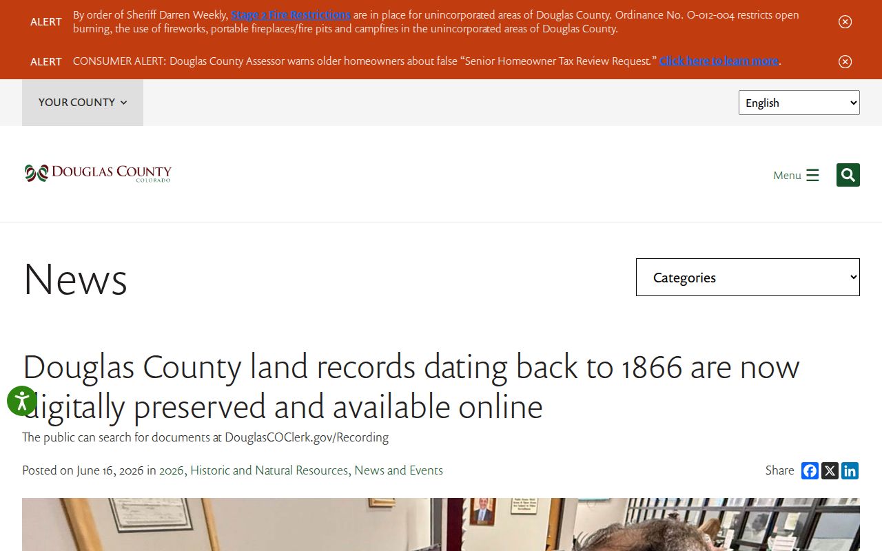
The preservation story expands the index trail while leaving the researcher responsible for checking image status, legal description, and source date.
Frankstown and the 1874 Douglas County Boundary
Historic locality labels matter. Douglas County formed in 1861 with a much larger area than it has today. Frankstown was an early county-seat community. In 1874, the eastern portion became Elbert County, voters moved the seat to Castle Rock, and the first Douglas County courthouse was built. A nineteenth-century tax, court, census, or directory record can therefore use a county or place label that does not match a current ZIP, municipality, or postal city.
When a prior deed or family record appears to leave Douglas County, compare the record date with the boundary history before treating it as a different family. Search Frankstown, Castle Rock, rural routes, post offices, and old community names as separate locality terms. Keep the original wording in the research notes and add the modern match in a second field.
That discipline is useful in Highlands Ranch, Roxborough Park, Parker-edge communities, and the rural south as well. Modern labels should not be projected backward onto a historic record simply because the current address is familiar.
Lawful Douglas County House-History Research
Douglas County Libraries Archives and Local History is the local fallback when a volume or map is not online. The Reading Room is at 100 S. Wilcox Street in Castle Rock, with phone 303-688-7730. Public hours are Monday and Friday, 8 a.m. to 4 p.m.; research assistance is available by appointment Monday through Friday, 8 a.m. to 4 p.m. Confirm hours before travel.
Most collections are staff retrieved. Ask for one box or folder at a time, use pencil for rare material, and ask before copying or photographing. A microform reader is available, and microform scans or copies may carry a fee. Douglas County residents can use interlibrary loan; the guide reports two to six weeks for a Materials Request Form arrival and a loan of up to three weeks.
The DCL Archives and Local History visit information describes the reading-room route. The digital collection at DCL's collections page includes yearbooks, school censuses, photos, oral histories, local documents, and one-room schoolhouse material, but it states that not all archival material is digitized.
Keep the house-history purpose clear. Previous residents research is appropriate for genealogy, preservation, reconnecting with family or classmates, and understanding a parcel's past. Use records lawfully and respectfully. Do not turn a name trail into surveillance, intimidation, harassment, or harm.
A careful house history ends the previous residents trail with a source list: the parcel search date, each deed and legal description, the directory or census observation, the obituary or probate file, the map or permit, and any gap that remains unresolved.